
Golden Neighbors Block Sources
A block search works best when the source table stays narrow. Golden neighbors research should keep adjacent parcels, city boundaries, voter files, permits, and community pages separate because each describes a different part of the area around one address.
| Source | What it shows about a block | Access |
|---|---|---|
| Jefferson Assessor parcel card | Current owner, situs and mailing address, PIN/AIN/TAG, class, legal description, transfer and tax leads | Free online, office, phone |
| Jefferson jMap and ArcGIS parcel service | Adjacent geometry, address points, owner or parcel fields, streets, boundary, zoning, district and aerial layers | Free viewer and public services |
| City of Golden boundary and zoning layers | Municipal versus unincorporated context and planning geography | Public GIS services; general planning use |
| Jefferson voter products | Current public residence, mailing, precinct, party, status, and election fields when released | Person lookup or county request |
| City Accela | Address or parcel-linked permit, planning, fire, or license lead | Anonymous lookup or CORA request |
| Neighborhood plans and associations | Planning areas, community names, meetings, covenants, or public contact routes | Public pages; private records stay private |
The table does not create a raw block roster. It gives a sequence for checking a parcel’s location, record role, and public context.
Map Golden Neighbors in jMap
Jefferson jMap makes a Golden neighbor search reproducible when the target parcel is saved before the map is read. Search the address or PIN, turn on Parcel, Streets, Address, and City or County Boundary layers, and zoom until the target and surrounding geometries are clear. Attribute Table and Property Report tools then connect each visible lot to a parcel identifier and Assessor detail. Use this process:
- Save the target PIN or AIN, situs address, mailing field, map date, and visible layer names.
- Identify side, rear, and across-the-street parcels without relying on frontage alone.
- Open each parcel record and copy the PIN or AIN, situs, owner field, mailing field, and property class as labeled.
- Mark whether a parcel is outside the city boundary, behind an alley, part of a condominium or complex, or separated by a street.
- Compare the city, ZIP, tax district, and legal description before describing the area as a Golden block.
A parcel that touches the target geometry is a spatial neighbor. It is not automatically a social, household, or association neighbor, so a Golden neighbor lookup must label that relation before using any other record.
The City of Golden address and parcel service capture below shows the kind of map-to-record bridge used around a Golden address.
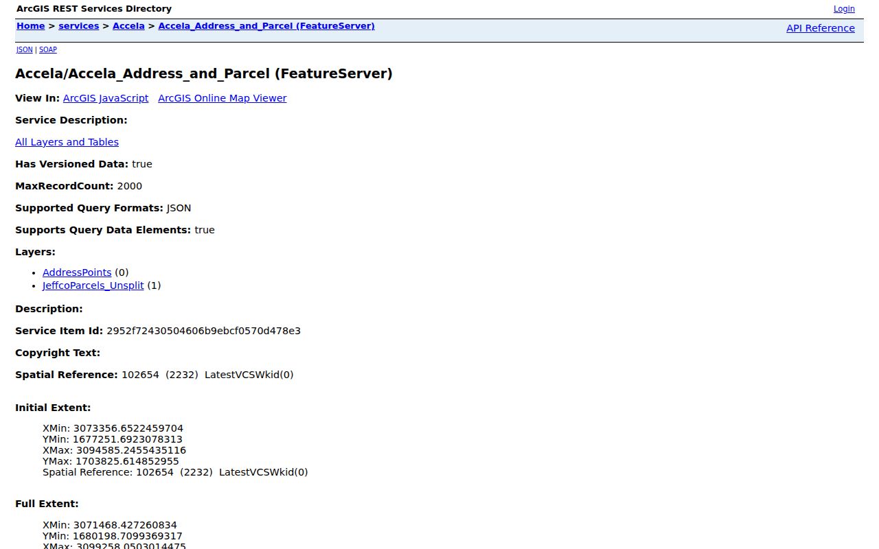
The service contains AddressPoints and JeffcoParcels Unsplit layers and an observed 2,000-record maximum. Preserve the query date and layer name with any result.
Golden Neighbor Lots Need a PIN Check
Street numbers can be missing, reused, or represented by a unit label. PIN, AIN, TAG, lot, block, subdivision, and legal description give a more durable identity. The Assessor card can show a situs address that differs from the mailing address. A county tax district or city boundary may also differ from the postal city. Those differences matter when Golden neighbors sit near an unincorporated pocket or a large shared parcel.
Compare the map point with the property card, then compare both with the legal description. If the map shows one broad shape but the address list shows several units, ask whether the record is a condominium, complex, parcel split, or separate address point. If a boundary is disputed, send the PIN or AIN to Jefferson GIS, the Assessor, or City Planning rather than relying on a visual edge.
- Adjacent parcel
- A parcel that touches or lies directly across the target context on the map; the relationship is spatial.
- Situs address
- The physical location tied to the parcel, distinct from the address used for tax mail.
- PIN or AIN
- The parcel identifiers used to bridge the Assessor, GIS, tax, and Recorder systems.
- Buffer
- A map area drawn around a target to inspect nearby features; it does not define a social radius.
Golden Neighbors on Each Side
Whole-block geography needs more than a list of street-front parcels. Golden neighbors may include a side parcel that shares a lot line, a rear parcel reached by an alley, or a parcel across the street that sits outside the same block face. A shared complex may contain multiple address points over one legal tract. Record the relation before copying any owner or mailing field.
Use jMap’s LayerList, Attribute Table, buffer, measurement, and Property Report tools when the geometry is complex. A controlled ArcGIS query can expose postal, situs, legal, owner, and tax fields, but the public query is not a certified county record. The city boundary and zoning services add planning context, not survey accuracy.
The adjacent parcel step is useful for property curiosity, local history, and civic geography. It does not reveal household members, delivery recipients, utility customers, or private association members.
Golden Neighbor Voter Fields
The Colorado SOS lookup requires first name, last name, ZIP, and birthday. It is a person-first check and does not expose a street roster. Jefferson County’s Monthly Voter File can include residence address, mailing address, precinct, party, status, voter ID, birth year, registration date, gender, phone if provided, and recent election fields for current, nonconfidential records. The Daily Ballot Status File is tied to an election window and contains ballot mailing and receipt fields.
A whole-block question should use the county request form and follow the stated civic or records purpose. Historical voter material routes through CORA. Confidential voters are omitted or specially protected, and staff will not confirm protected address, phone, email, or fax. A blank voter result cannot be read as an empty block or as proof that no Golden neighbors are registered.
Keep voter information narrow. A count, precinct context, or status answer may serve the question without publishing a raw block roll or combining sensitive fields.
Golden Planning Areas Versus Neighbor Associations
City neighborhood-plan pages and the Comprehensive Plan describe Central Neighborhoods, historic downtown, the Mines campus, east downtown, and south downtown as planning areas. They orient a Golden block, but they are not membership directories. The public neighborhood-plan page below is the official context source for community geography.
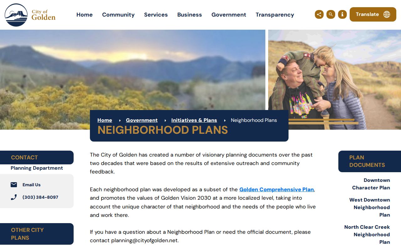
Planning categories show how the city frames an area. They do not confirm that a particular parcel belongs to an association or that a private group has a public roster.
Association names can still help with a civic or property question, if the organization publishes a public contact route. Stonebridge HOA is described as 232 homes with a private forum and calendar. Parkview at Golden uses the TownSq community app. Paradise Hills redirects to a private membership platform. The Trails has 90 or more homes and private open space in unincorporated Jefferson County. Genesee Crossing and Genesee Foundation also have organization-level information, but private member communications should not be copied into a Golden neighbor lookup.
Golden Association Contact Clues for Neighbors
The following is an organization map, not a resident list. It keeps public community facts separate from private member records.
| Organization or context | Publicly documented clue |
|---|---|
| Stonebridge HOA | Described as 232 homes with a private forum, calendar, and HOA portal. |
| Parkview at Golden HOA | Golden 80403 community identified with 19779 W 57th Place and a TownSq app. |
| Paradise Hills HOA | Public site redirects to a private membership platform; no public roster should be assumed. |
| The Trails HOA | 90 or more homes and private open space in unincorporated Jefferson County. |
| Genesee Crossing / Foundation | Organization-level board, covenant, or contact clues; member records remain private. |
| Table Rock Homeowners Association | Colorado DRE print detail shows a state-regulated HOA registration example at W 58th Avenue, Golden, CO 80403. |
The Colorado Division of Real Estate detail demonstrates an official organization lookup. It does not turn HOA registration into a list of households. For an association question, use the organization’s public contact route and follow its own access rules.
Golden Neighbor Permits Around a Block
Accela can provide an address or parcel-linked lead for building, planning, fire, public-works, or license records. The public route exposes fields such as record number, record type, project name, date range, license type, state license number, business name, and site address. The exact historical cutoff and complete record result schema were not exposed in the research session.
Search the public property or application route first. If it does not show a needed history, request an existing record from the City of Golden with the address, parcel, record type, and date range. A CORA request can seek an existing file or export. County planning, code, or law-enforcement custodians may apply to a record outside the city module. A permit applicant is a filing role, not proof of occupancy.
For a full named-street chain, the Golden by-street address route handles the broader parcel and deed workflow. The neighbor lookup stays at the immediate block scale.
Official Golden Records and Commercial Tools
Official records and commercial directory services answer different questions. The comparison below keeps the source and limitation visible without naming private services.
| Route | Strength | Limit |
|---|---|---|
| Assessor and GIS | Parcel identity, map position, owner and mailing fields | Owner is not automatically an occupant; boundary and date checks remain needed |
| Recorder and court | Recorded parties, instruments, case leads, and official request paths | Index, image, sealed, and eligibility limits apply |
| Voter products | Current public address and precinct fields for permitted records questions | Person-first lookup, confidential exclusions, and use restrictions |
| Commercial directory category | May combine public and commercial feeds into one search | Same-name merges, stale data, recurring fees, and no authority over government records |
Use the official custodian for verification. Keep a source date, record role, parcel or case identifier, and the reason the field answers the local question.
Privacy Limits on a Golden Neighbor Lookup
A public map does not expose every person around an address. It cannot list household members, non-owner occupants, utility customers, delivery recipients, private association members, protected voters, or confidential vital and adoption records. Colorado’s Address Confidentiality Program and Jefferson’s protected-voter rules can create an intentional absence from ordinary results. A blank parcel, voter, or association page is not permission to infer a private fact from a Golden neighbor lookup.
For corrections, contact the custodian that controls the field: Assessor for parcel data, Recorder for recorded documents, Elections for voter data, City for permits, court clerk for case files, or the organization for its public association material. CORA opens existing public records; it does not require a new resident list or override a protected category.
Lawful personal use. Golden neighbors research can support civic context, family history, property curiosity, and community contact. Do not use a block map or name trail to stalk, harass, intimidate, or harm anyone.
Request a Golden Block Record
Online access is only one channel. Jefferson Assessor and Recorder offices offer counter and phone help, Jefferson Elections accepts current file requests, City Hall and Planning can route address records, and the courthouse handles public case requests. The Golden Library, Golden History Museum, Colorado State Archives, and local newspaper collections supply historical maps, directories, census leads, civic notices, and obituary clues. Mail, email, fax, and written CORA requests remain useful when a portal omits an older field.
A request should identify the target address, PIN or AIN, record type, date range, and desired fields. Ask for an existing record or export. Preserve the reply and the date checked. If the question shifts from the block to one named person, use the Golden resident lookup route and keep the purpose and record role clear.
That source discipline keeps Golden neighbors tied to the block that the map actually shows, while respecting the line between public geography and private life.