
Trace a Golden Street Directory by Address
A useful address-first search starts with the exact format accepted by the Jefferson County Assessor. A Golden street directory is most reliable when the directional prefix, street type, unit, city, and ZIP stay as separate clues. The result should produce a PIN, AIN, TAG, situs address, mailing address, and legal description. Those identifiers make the next steps repeatable and prevent a visual map match from being mistaken for a confirmed household.
Use the address chain in this order:
- Run the address in the Jefferson Assessor address search, testing the exact street type and relevant city or postal-code choices.
- Save every matching parcel row, then open the parcel in Jefferson jMap to see street context, boundaries, and related layers.
- Use the parcel legal description, owner name, or reception number to search the Recorder’s real-estate index.
- Check the Colorado voter lookup only for a known person, since the public form is person-first and does not expose a whole-street roster.
- Ask City of Golden for an existing address-keyed permit or planning record when the anonymous Accela view does not show the needed history.
- Pair current address evidence with directories, newspapers, maps, or census material when the goal is a past household.
The chain moves from address to parcel, parcel to owner, owner to recorded instrument, and dated record to household clue. This Golden street directory chain answers a different question at each arrow.
Golden Assessor Address Search Fields
The Jefferson Assessor address form is the core current source for Golden by-address research. For a Golden street directory, it is a county-wide tool, not a city-limit index. City and postal code are required in address mode, and the visible city list includes GOLDEN along with other Jefferson County places. The postal-code list exposes 80401, 80402, 80403, and 80419 among other values.
| Field | Golden street-search use |
|---|---|
| Address Number | Physical number, such as the number entered before a street name. |
| Pre-directional Type | E, N, NW, S, SE, SW, or W; use the value shown in the address. |
| Street Name | Street text without the type; exact spelling helps. |
| Street Type | Options include ST, AVE, RD, BLVD, DR, LN, PL, TER, TRL, WAY, and others. |
| Unit Number | Separates a unit from the parent parcel when a unit is indexed. |
| City | Required in address mode; GOLDEN is one visible option. |
| Postal Code | Required in address mode; run relevant ZIPs separately when the geography is unclear. |
Address results show Property Address, City, Postal Code, PIN, AIN, TAG, Owner, Property Class, and Mailing Address. The owner and mailing fields are useful leads, but neither field proves who lives at the property. A parcel may be held by an organization, an agent, or an owner whose correspondence goes to another city.
The captured Jefferson Assessor address form below is the source for the Golden address field list.
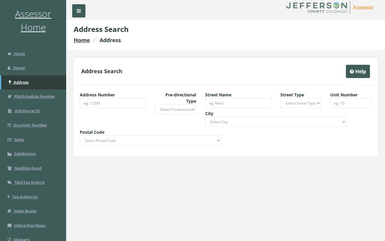
Use the visible controls exactly, then save the result row before moving to the map or deed index.
Golden Street Results in 50-Row Pages
The Assessor’s result grid has a page size and maximum of 50 rows, with paging and export controls observed in the inspection. A Golden street directory pass therefore needs a small capture method. Run each relevant city and ZIP combination, keep the exact query, and record the first and last row on each page. The stable columns are Property Address, City, Postal Code, PIN, AIN, TAG, Owner, Property Class, and Mailing Address.
An owner-mode search is useful when a name is known. It can be paired with the address result to spot a parcel that uses a mailing address elsewhere. A sample parcel at 2117 Ford St, Golden, has a Lakewood mailing address for the recorded owner and an office property class. That result is valuable precisely because it prevents a false claim that the mailing address is the resident’s home.
The Jefferson Assessor owner search below shows the other current entry point for Golden by-address research.
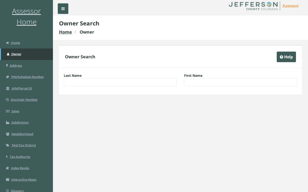
Keep a source-date column in the street-by-street worksheet. Values, owners, voter status, map layers, and permit records can change while a historic directory remains fixed to its publication year.
Map Golden Street Parcels in jMap
Jefferson jMap adds the spatial layer that a property grid lacks. Its search sources include address, intersection, owner, PIN, and AIN or schedule number. Layer controls can show parcels, streets, address points, boundaries, zoning, flood or geologic hazards, districts, planning layers, open permits, and aerial imagery. Attribute Table, measurement, buffer, and Property Report tools help keep a block or street segment reproducible.
Open a parcel from the Assessor, then zoom until the target and neighboring geometries are visible. Click each parcel or use the attribute table, and save the PIN or AIN, situs, mailing field, map date, visible layers, and whether the parcel is across a street, behind an alley, or part of a shared complex. The ArcGIS parcel service also exposes owner, situs, mailing, legal, tax, and sales fields, with a 6,000-record maximum observed. That makes it a useful Golden street directory crosswalk, not a household index.
The Jefferson ArcGIS parcel service capture below belongs in this address record because it shows the parcel-level bridge between a record row and a map.
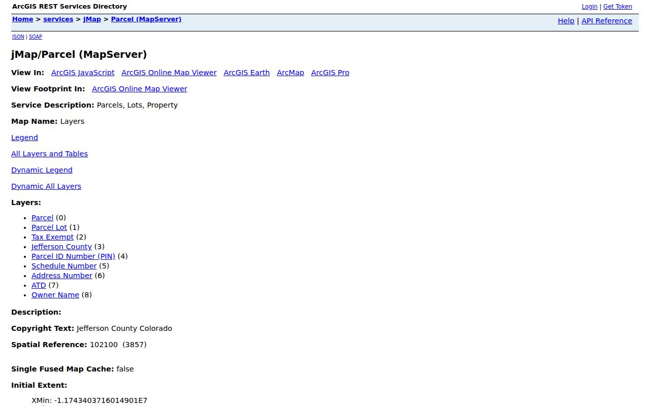
Geometry identifies a spatial neighbor, not a social connection. Use the property service’s actual field labels and date rather than turning a parcel map into a claim about a household.
Golden Records Searchable Along a Street
Golden address records form a chain, but each keeper supplies a different kind of evidence. A Golden street directory is a crosswalk among those custodians, not one unified roster. The following coverage table separates a parcel lead from a title instrument, a public voter field, and a city permit record.
| Record set | Keeper | Street-level evidence | Access |
|---|---|---|---|
| Assessor parcel card | Jefferson Assessor | Owner, situs and mailing address, PIN/AIN/TAG, class, value, sales and legal description | Free online, office, phone |
| GIS parcel and layers | Jefferson GIS and City GIS | Geometry, adjacent parcels, city boundary, zoning, districts, hazards, aerials | Free viewer and services |
| Deed and recording index | Jefferson Clerk & Recorder | Grantor, grantee, instrument, reception number, date, legal description, image lead | Index, counter, copy route |
| Voter file | Jefferson Elections | Current public address, precinct, party, status, and election fields when released | Person lookup or request form |
| Permits and planning | City of Golden | Address or parcel-linked application and project lead | Accela or CORA request |
| Directories and newspapers | Library, museum, DPL | Dated occupant, business, obituary, civic, and move clues | Scan, database, staff request |
Parcel identifiers tie the first two rows to the Recorder. A legal description can work when an old street address does not. A voter file can add a registration signal, while a historical directory or newspaper can anchor a past name to a date. No row should be expanded beyond the field it actually exposes.
Follow Golden Street Addresses Into Deeds
The Aumentum real-estate form offers Combined Name Search and Separate Name Search, with party role choices for Both, Grantor, or Grantee. Date Filed, book, page, instrument number, document type, subdivision, block, lot, section, town, range, quarter, and Street Address controls can narrow a recorded-party search. The live form displayed a Permanent Index from January 1, 1963 to July 16, 2026, a Temporary Index from July 17 to August 18, 2026, and Images from January 1, 1859.
Jefferson County’s February 2025 notice separately described a 1970 searchable expansion. The date distinction matters when a Golden address entry says “indexed” or “images available.” Keep the live form statement and the project statement side by side, then ask the Recorder which series applies if a result is missing.
Search the legal description and reception number when the street name fails. In a Golden street directory trail, search both party roles because an instrument may be a release, lien, easement, correction, or deed of trust rather than a transfer. The index extract can lead to a scanned image, but the county does not certify the index as a title report. Counter, phone, mail, and copy-order routes remain available through the Clerk & Recorder. The Aumentum real-estate form below shows the date and party controls behind the Golden deed trail.
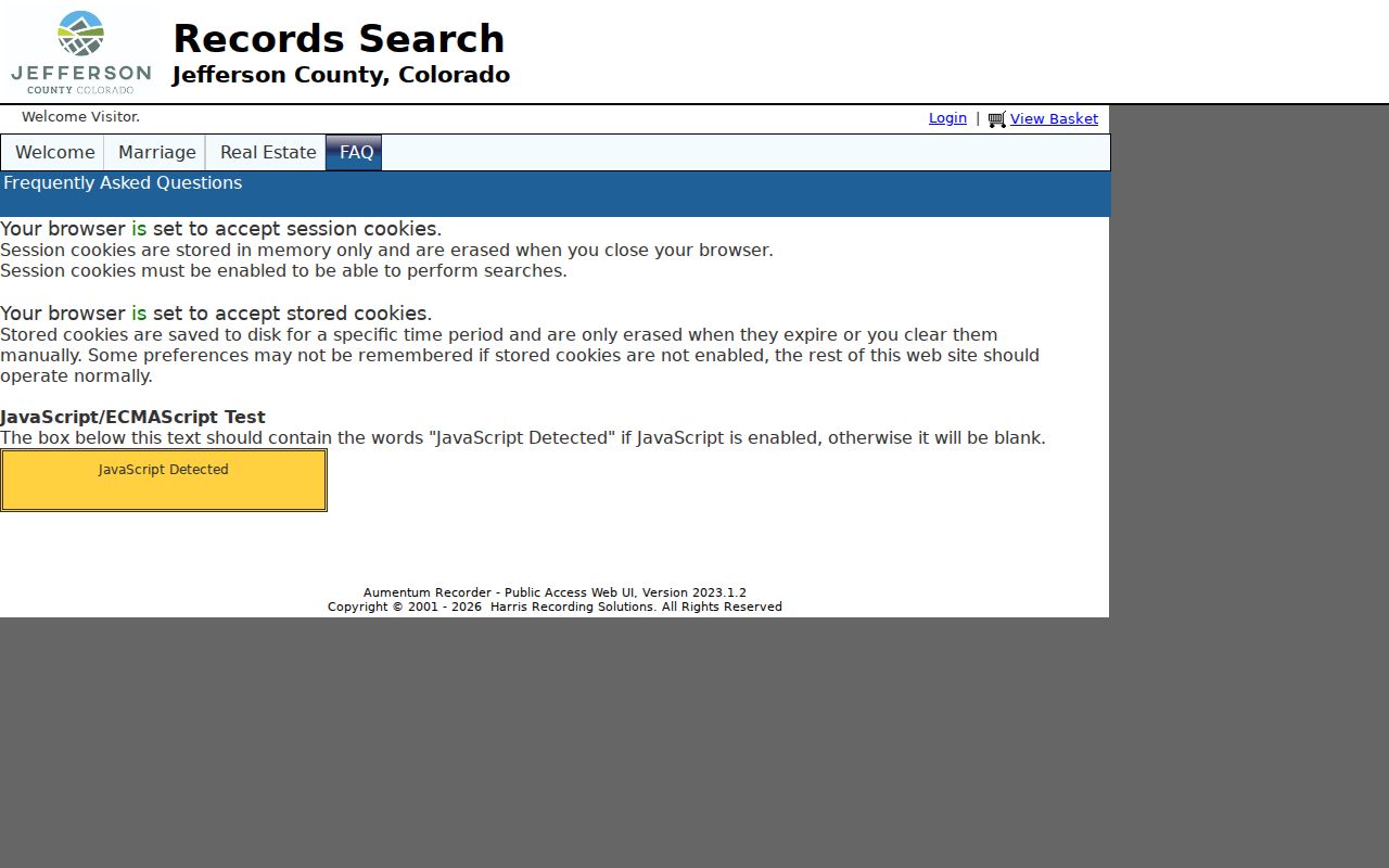
Use a recorded image or certified copy for formal proof, and use directories or newspapers before calling a deed party a past resident.
Golden Street Permits and Open Reviews
City of Golden’s Accela route can connect a street number, directional, street name, type, unit, city, state, and ZIP to a public property or application record. Its records and applications search can also use record number, record type, project name, date range, license type, state license number, business name, and site address fields. The inspection did not expose a complete record-type list, a historical cutoff, or a stable sample result.
That limitation changes the request strategy. Search the anonymous public route first. If the needed permit, planning, fire, or public-works history is not exposed, ask the City of Golden for an existing record by address, parcel, record type, and date range. For the Golden street directory, a CORA request can seek an existing export or file; it does not require the city to create a new street roster. County planning or code custodians may be relevant when the record falls outside a city module.
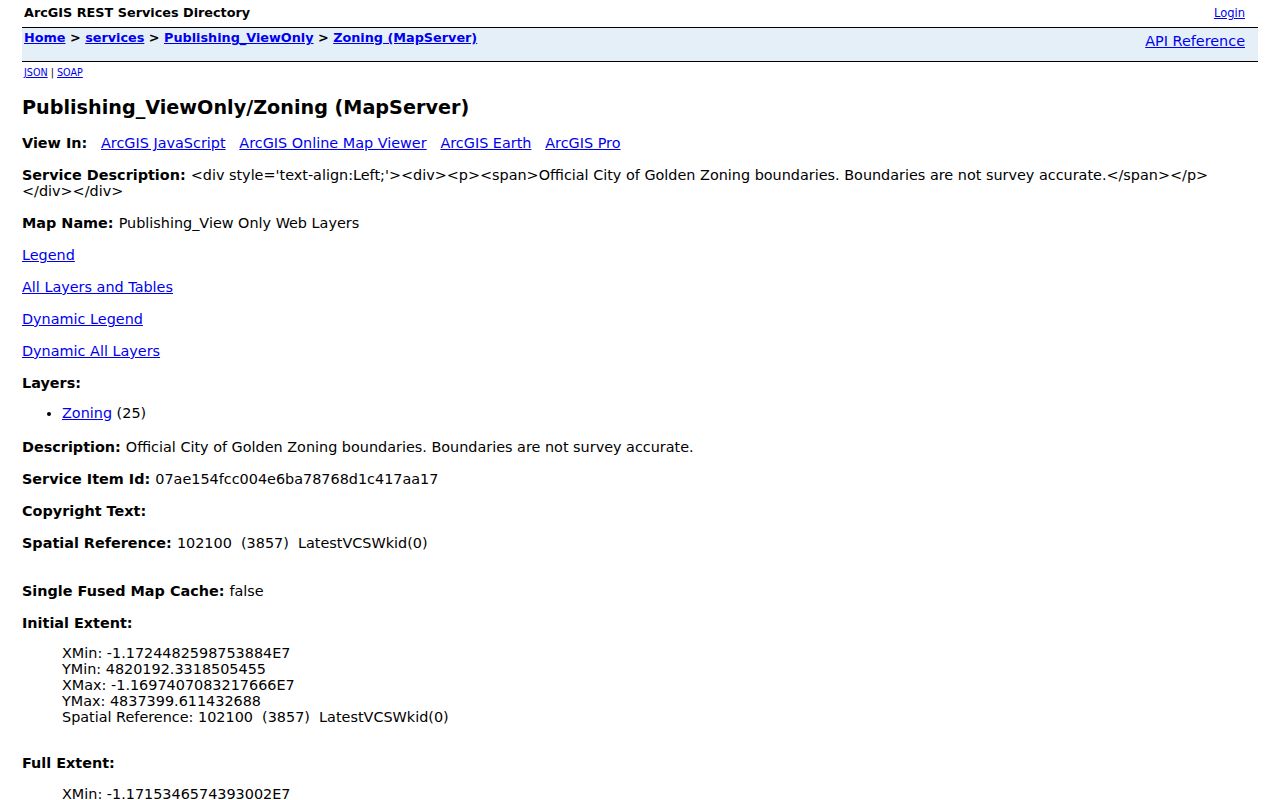
The Golden zoning layer below is a useful map companion, but a planning layer is not a survey and does not replace a parcel or legal description.
Permit applicants, recorded owners, and occupants are different roles. Label the field and custodian before drawing a conclusion about a street.
Golden Street ZIP Labels Versus City Limits
The Golden address record can cross a jurisdiction line without changing the postal city. ZIP 80401 and 80403 include substantial unincorporated Jefferson County territory with Golden mailing labels. ZIP 80402 is identified in the local collection-scope material as PO-box usage, and 80419 appears in county-government mailing context. The correct sequence is USPS delivery check, Assessor city and postal fields, jMap or City boundary layer, and then legal description or TAG.
Jefferson jMap and the City of Golden City_Limits service are planning and mapping aids, not survey proof. The city boundary service warns about general planning use. For a disputed parcel, provide the PIN or AIN to the Assessor, GIS, or Planning office. Do not use a Golden mailing city as a shortcut for municipal tax jurisdiction.
Address terms. Situs means the physical parcel location. Mailing means where correspondence is sent. A legal description identifies the lot or tract. ZIP means delivery geography. An address result needs all four labels.
- Parcel
- A mapped or legally described unit of land, usually carried by a PIN or AIN.
- Situs address
- The physical location tied to the parcel, distinct from where tax correspondence is sent.
- Plat
- A recorded map or subdivision drawing that can help connect lots, blocks, and legal descriptions.
- Criss-cross directory
- A historical address-to-name or name-to-address source, if a Golden volume includes one.
Golden Street History Beyond Current Parcels
Modern address records do not reach every historical household. A Golden street directory needs older layers when a current parcel cannot answer a dated question. Golden History Museum reports a rich map collection with earliest maps from 1859. City metadata lists Sanborn years 1886, 1890, 1895, 1900, 1906, 1911, and 1919, and the Library of Congress verifies the 1890 Golden six-sheet item. Sanborn maps show building footprint, use, material, street name, and lot context, but they do not identify every resident.
Pair a map with the verified 1956 Golden directory item, the 1871 Golden City section, federal census snapshots, Colorado Historic Newspapers, museum archives, and library databases. The research did not locate an authoritative year for a Golden street-renumbering project. When an older address does not match, test historic community names, cross streets, lot and block, subdivision, Sanborn sheet, and legal description instead of inventing a renumbering date.
The historical directory collection is covered in depth on the Golden city directories page. The address route keeps the modern chain and uses the historical shelf only to bridge a dated gap.
What the Golden Street Directory Cannot Show
A public parcel search does not list every person present at a property. It cannot establish household membership, a non-owner occupant, a delivery recipient, a utility customer, or a private association member. The voter lookup is person-first, and confidential voters are omitted or protected. Driver information is restricted by the federal Driver’s Privacy Protection Act, and public utility customer names were not located as a Golden database.
Commercial directory services may merge same-name people, lag corrections, retain old data, or charge recurring fees. They do not override Colorado confidentiality programs or federal motor-vehicle limits. Official custodians are better for verifying the field a record actually holds. Stop when the next source is protected or when the purpose no longer supports lawful personal research.
Lawful use. Golden address records can support family history, property curiosity, civic research, and reconnection. Do not use a street or parcel trail to stalk, harass, intimidate, or harm anyone.
Request the Golden Street Record Missing Online
When the portal stops, use the custodian named by the record type. The Recorder can explain a reception number, index date, image, paper copy, or certification route. The Assessor and GIS offices can answer parcel and boundary questions. City Building or Planning can receive an address and date range for an existing Accela or code record. Jefferson Elections handles current file products and sends historical file questions to CORA. Golden Library, Golden History Museum, and the Colorado State Archives handle different historical collections.
A strong Colorado Open Records Act request names the street address, PIN or AIN, record type, date range, and fields sought. Ask for an existing record or export, not a newly compiled list of residents. For a court record, use the official form with county, year, party, case type, and document choice. For a deed copy, include the reception number or legal description. A phone call can clarify the route before a written request.
Keep the query, date, response, and source URL beside the result. That final trail turns a one-time Golden address lookup into a record that can be checked when a parcel, index window, or public file changes.